Map Digitizer

Transform scanned zoning maps into accurate GeoJSON with automatic zone detection and manual georeferencing

See Example

See How It Works

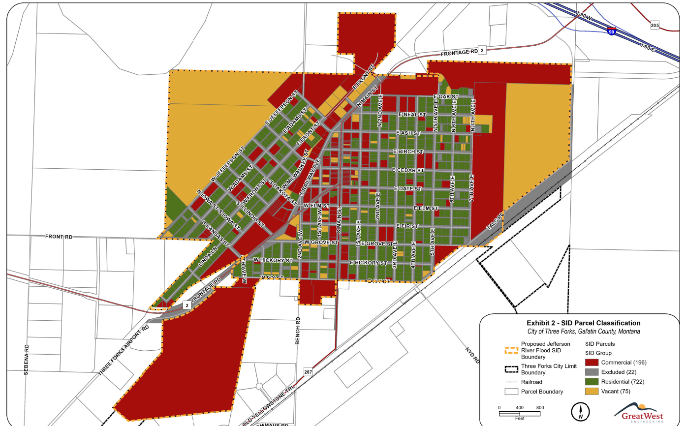
Original Scanned Map

1. Upload Map

Start with any scanned zoning map image (PNG, JPG, TIFF)

→
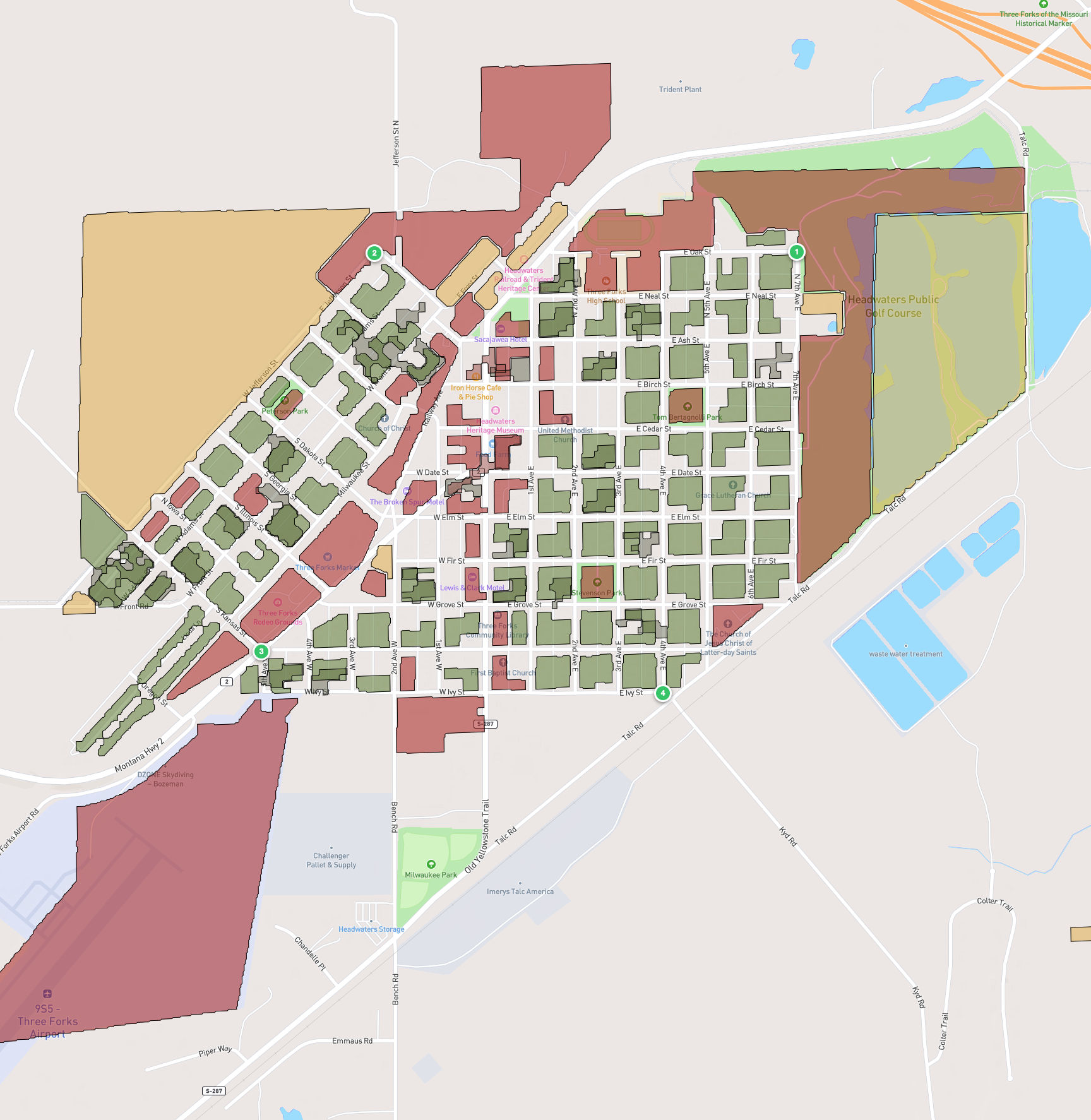
Digitized GeoJSON Result

2. Get GeoJSON

Automatic zone detection with georeferenced polygons

How It Works

1

Upload Your Map

Upload any scanned zoning map. Works best with solid-color zone maps (not satellite overlays).

2

Add Tie Points

Click matching points on both the reference map and your scanned map. 5+ points gives best accuracy.

3

Auto Zone Detection

Our algorithm detects colored zones automatically using LAB color space and excludes legend panels.

4

Export GeoJSON

Download georeferenced GeoJSON ready for QGIS, geojson.io, or any GIS software.

Hybrid Georeferencing Tool

Click to upload a scanned map image

Georeferencing

0 / 5 points
Reference Map
Scanned Map
100%
Step 1: Click a recognizable point (intersection, corner) on the reference map (left panel)

Processing...

Initializing...

Preview Results
Overall Accuracy (RMSE)
--

Delete high-error points and re-preview to improve accuracy

Digitization Complete

Detected Zones

Result Preview